
 FO
The weather in the Faroe Islands is anything but predictable, especially in November. I tracked the government weather office website every day for three weeks prior to the trip, like it was part of my usual social media feed, to the point where I started recognizing the Faroese words for "wind" and "clouds" and "stay away, it's clearly gross and rainy".
Two or three days out, I could tell that the first day of the trip was likely to have the best weather, so I seized on this opportunity to plan and book an excursion to the northern islands. There's a well-known hike here to a lighthouse with incredible views, so I wanted to make sure the weather was good for this visit. Turns out to have been one of the best decisions of my life.
The days are quite short in the Faroes in November, so heading out before sunrise isn't quite as impressive as it sounds. But given the jetlag I was fighting, it felt like an achievement. In a quiet parking lot in Tórshavn, I loaded my equipment into the car in about 2°C, as most people were groggily arriving at their downtown jobs. I felt nervous to take my first adventure in this new and unfamiliar place.
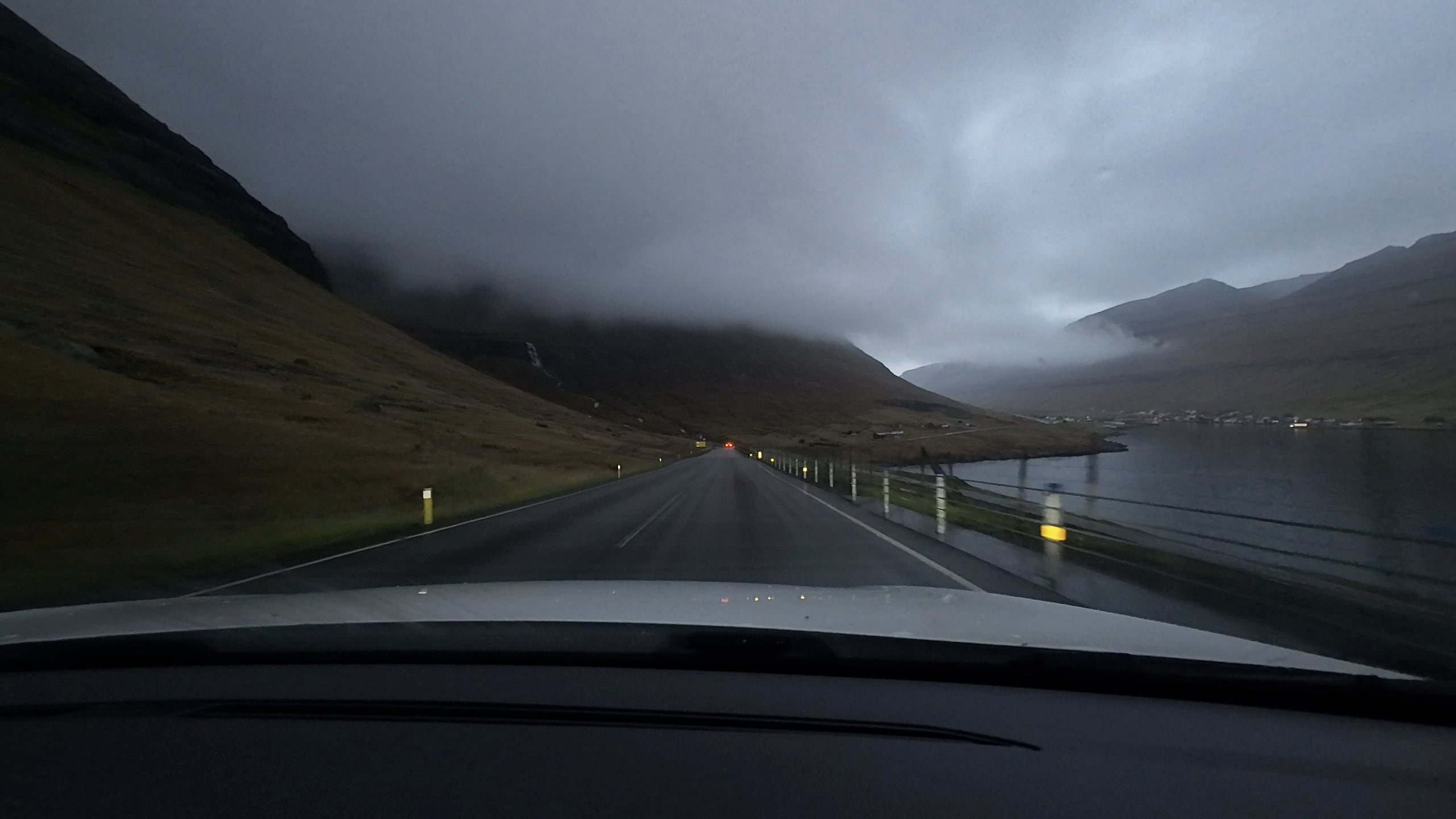
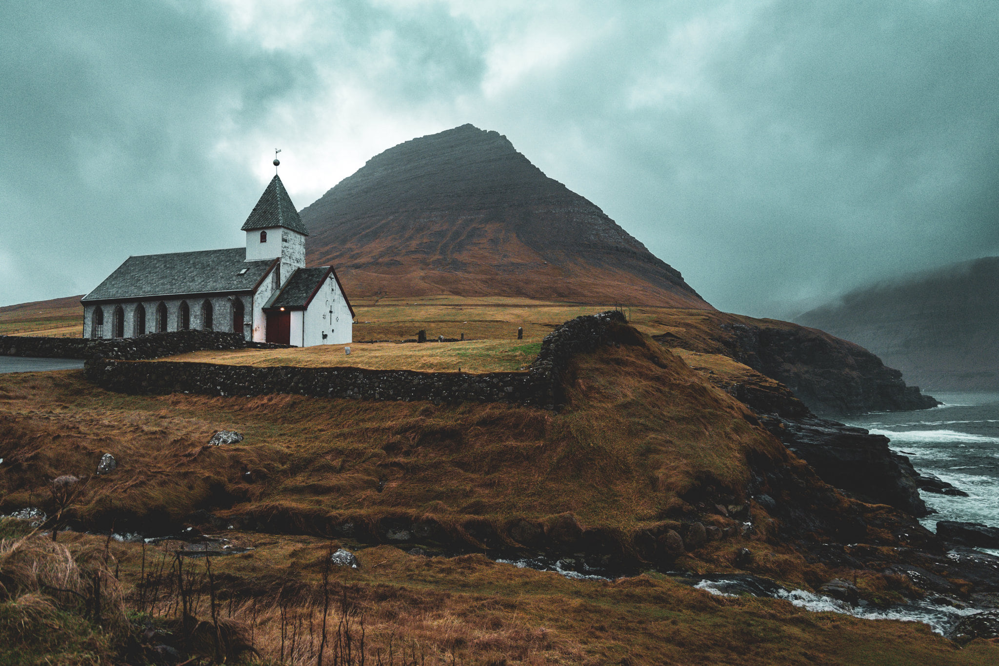
I headed for the 10 a.m. ferry that departed from Klaksvík, the Faroes' second-largest "city", with the idea that I'd cram in a visit to another beautiful northern island first. The first of many one-lane tunnels led to Viðoy, the northernmost of the islands. A breathtaking view over the first small town of the trip, each one anchored to a church and some dramatic cliffs. Heavy clouds hung over the mountains, yet to be burned off by the sun, which still sat low in the sky — just about 9 a.m. at this point.
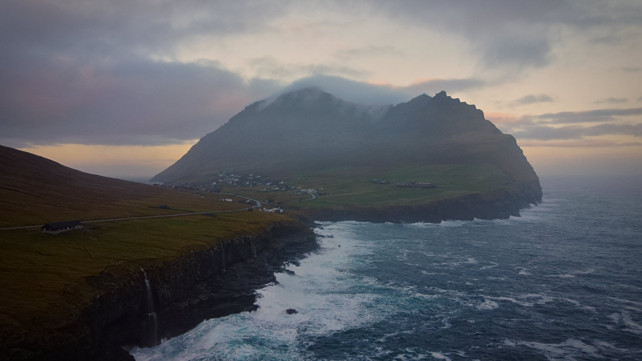
My first time getting out of the car, I slung my camera over my shoulder and grabbed my drone pack in a manoeuvre that would quickly become routine. The musty sea breeze was even stronger here than back in Tórshavn, and the mist pelted my face, but I didn't care. This is exactly what I came here for.
I was the only one here, an experience that would persist throughout most of the trip. Climbing down the path towards the sea, next to the village church, I found a good spot for drone piloting so I could capture mist running off the cliffs and the mountain looming over town.
I packed up quickly and headed back to Klaksvík — I had a ferry to catch, and the next one wasn't for five and a half hours. A quick stop at the local grocery store to grab some lunch for my upcoming hike, and I got in line with the six or seven other cars making their morning commute to the island.
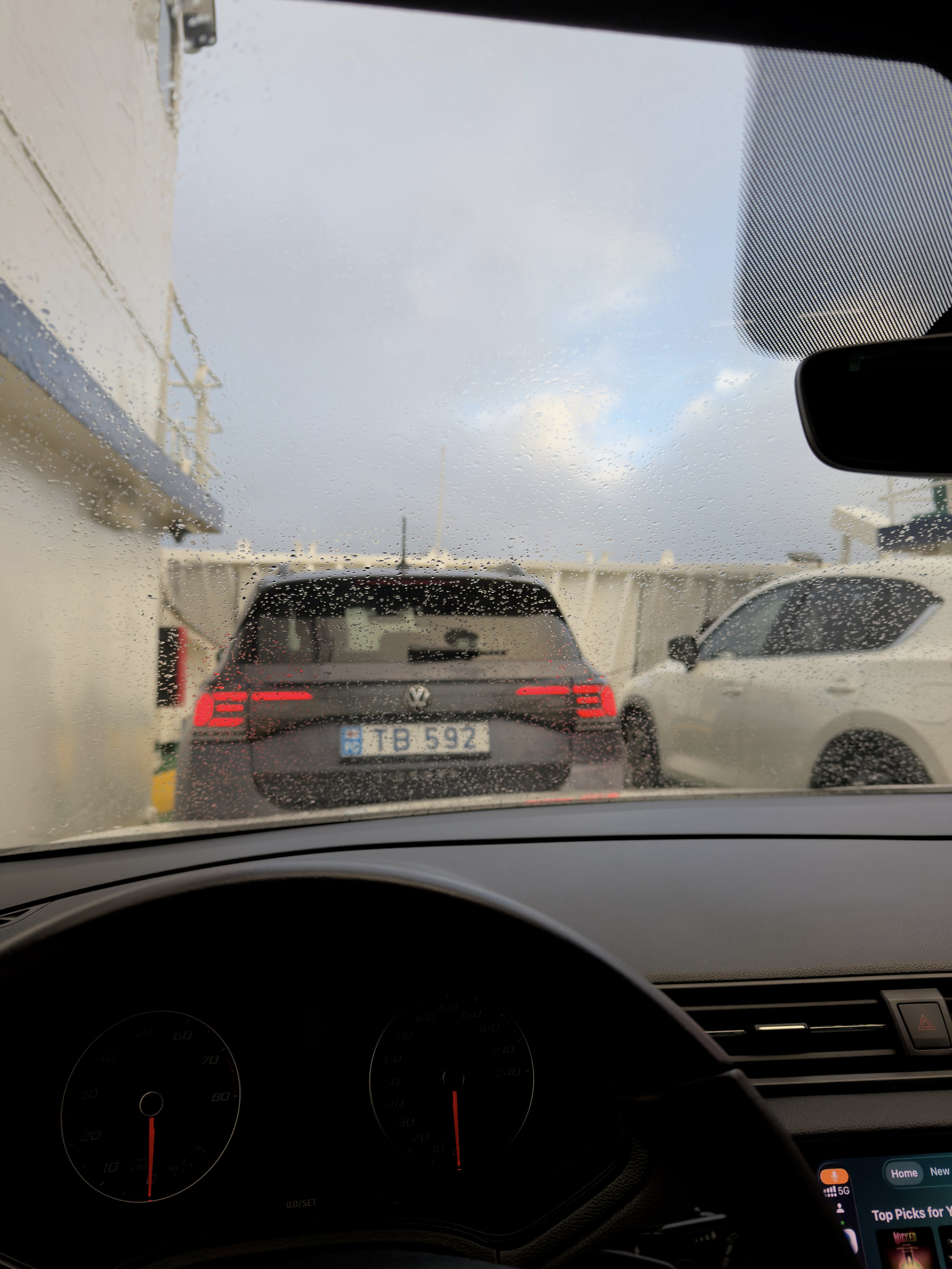
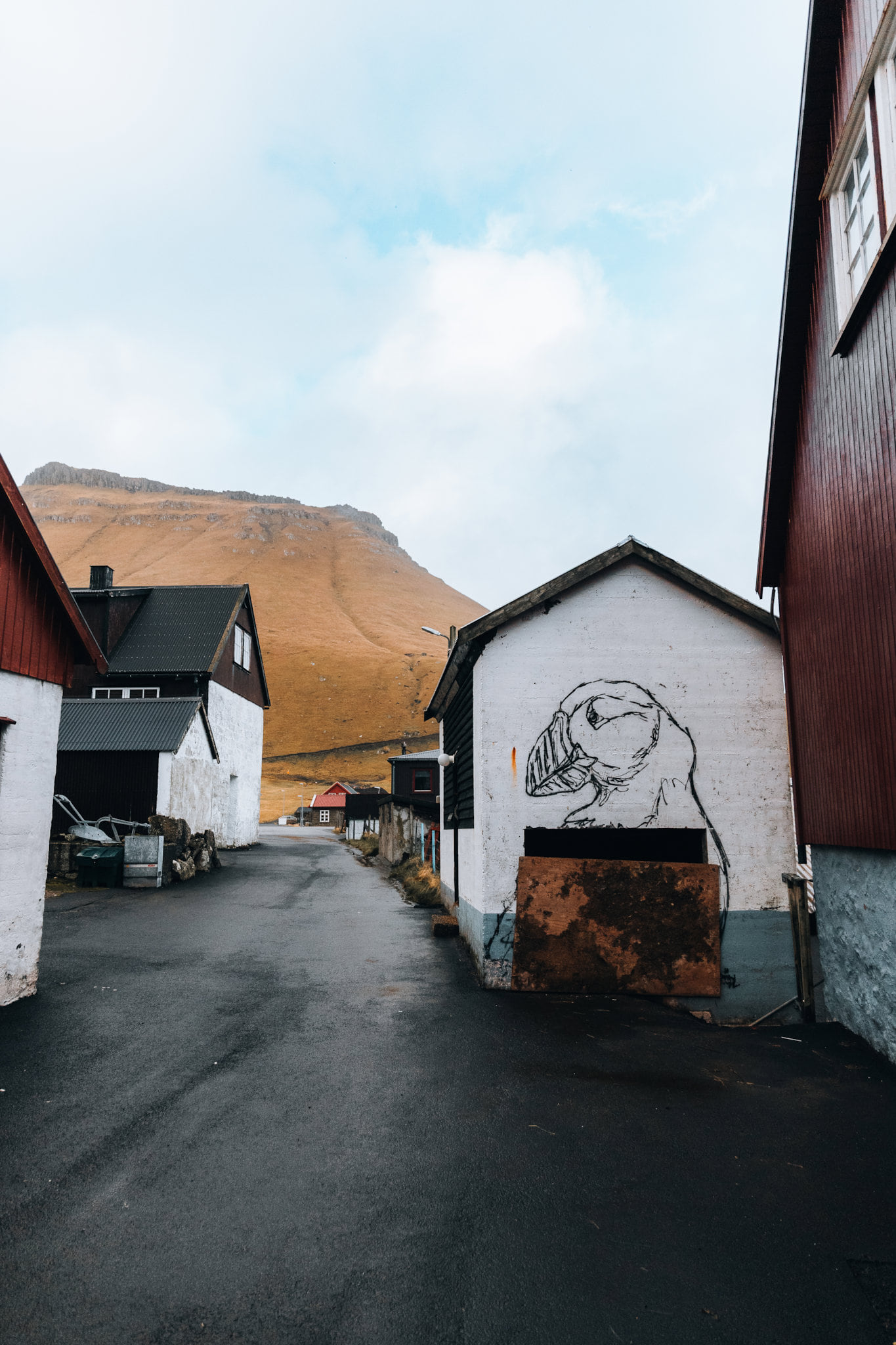
After unloading, I quickly drove up to the northernmost point of the island, through narrow one-lane tunnels and incredible cliffside views, to a village called Trøllanes. At this point the sun was about as high in the sky as it was going to get, and I was ready for my first hike of the trip.
As I climbed the muddy tracks toward Kallur Lighthouse, I looked back at the town. Its few dozen residents must feel like they are permanently clinging onto the side of the mountain to keep from falling into the sea. Or maybe it's the namesake trolls that are putting in the work to hold the town in place, who knows.
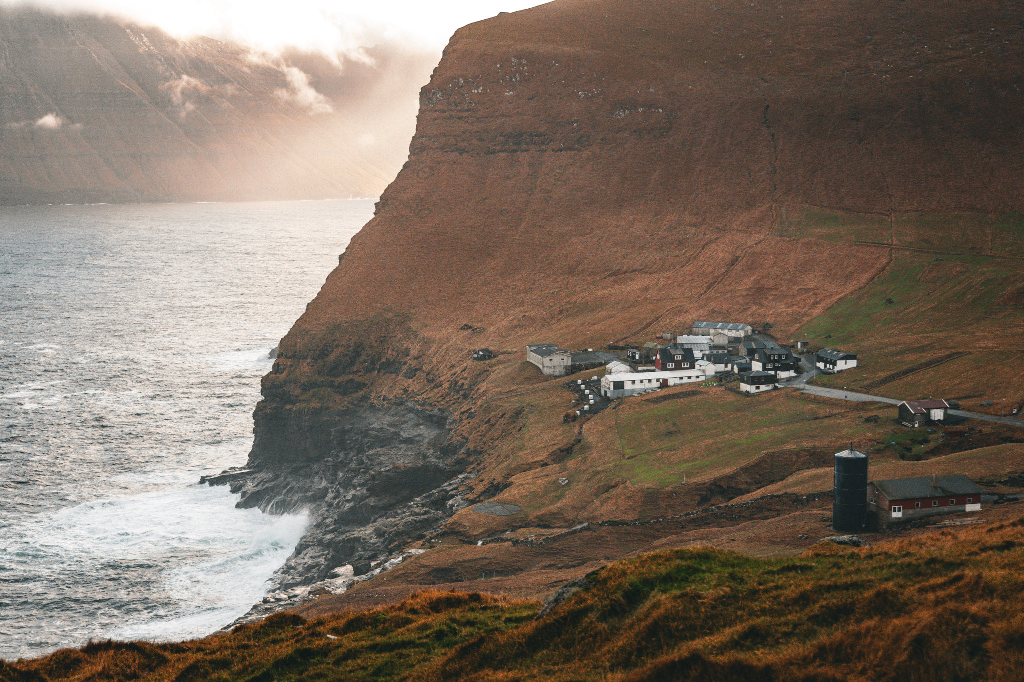
I was rewarded with damp ground for hiking but a beautifully clear sky, indeed the best weather of the whole trip. It was a slow trudge through mud and grass, and the constant need to dodge sheep droppings was an unwelcome experience. Luckily I had some hiking poles with me to help stabilize and avoid the worst of the mud. But what I was about to see would make it all worth it.
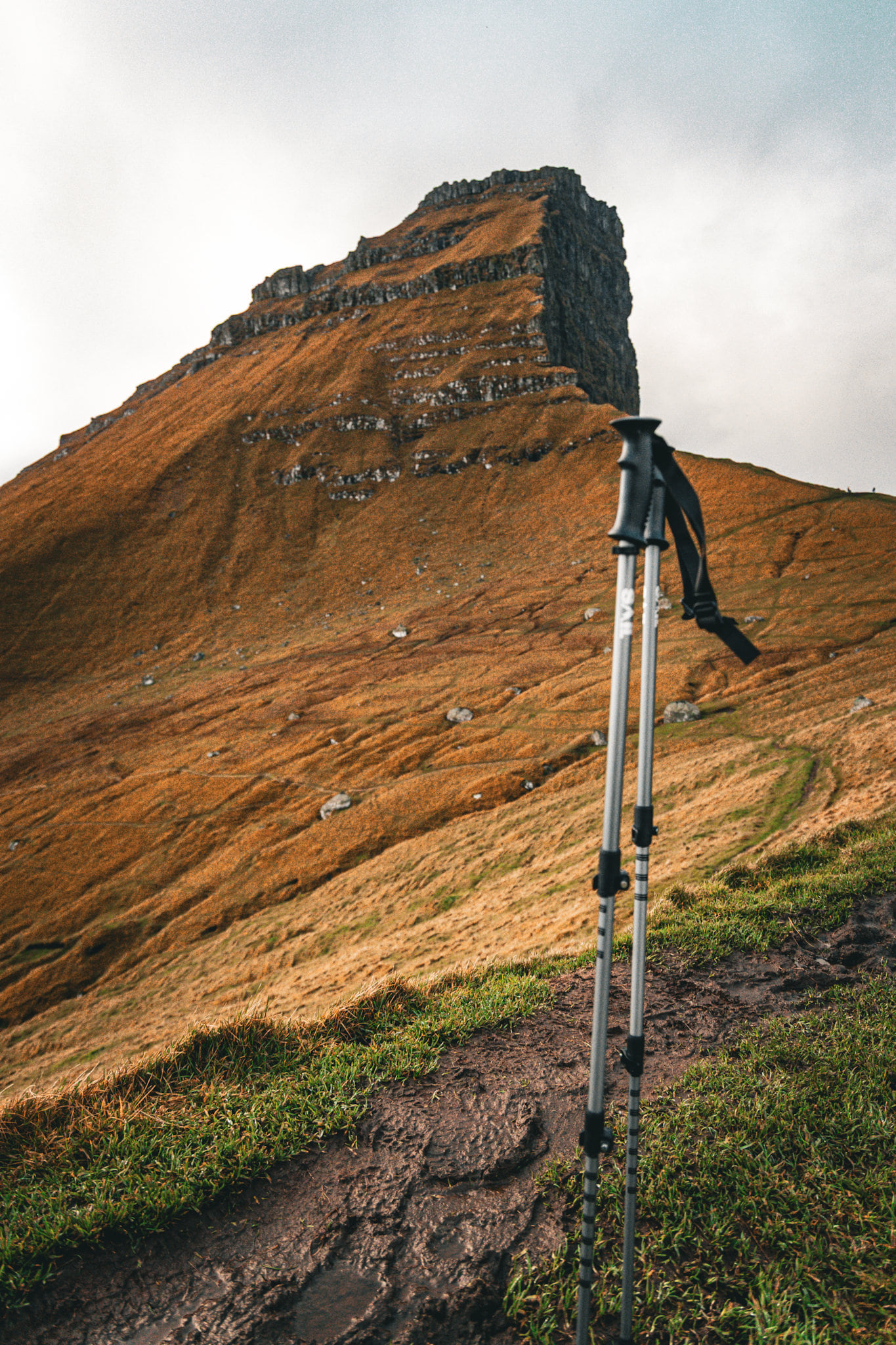
The mountain Borgarin showed its face, and I spent my time taking a couple dozen shots of it jutting out of the fog, each one more spectacular than the last. Wallpaper material.
I was still completely alone in one of the most spectacular places on the planet, and I could hardly believe it. I had to work hard to keep my footing and not slip, as I was about two big steps from a sheer drop into the sea no less than 200 metres high.
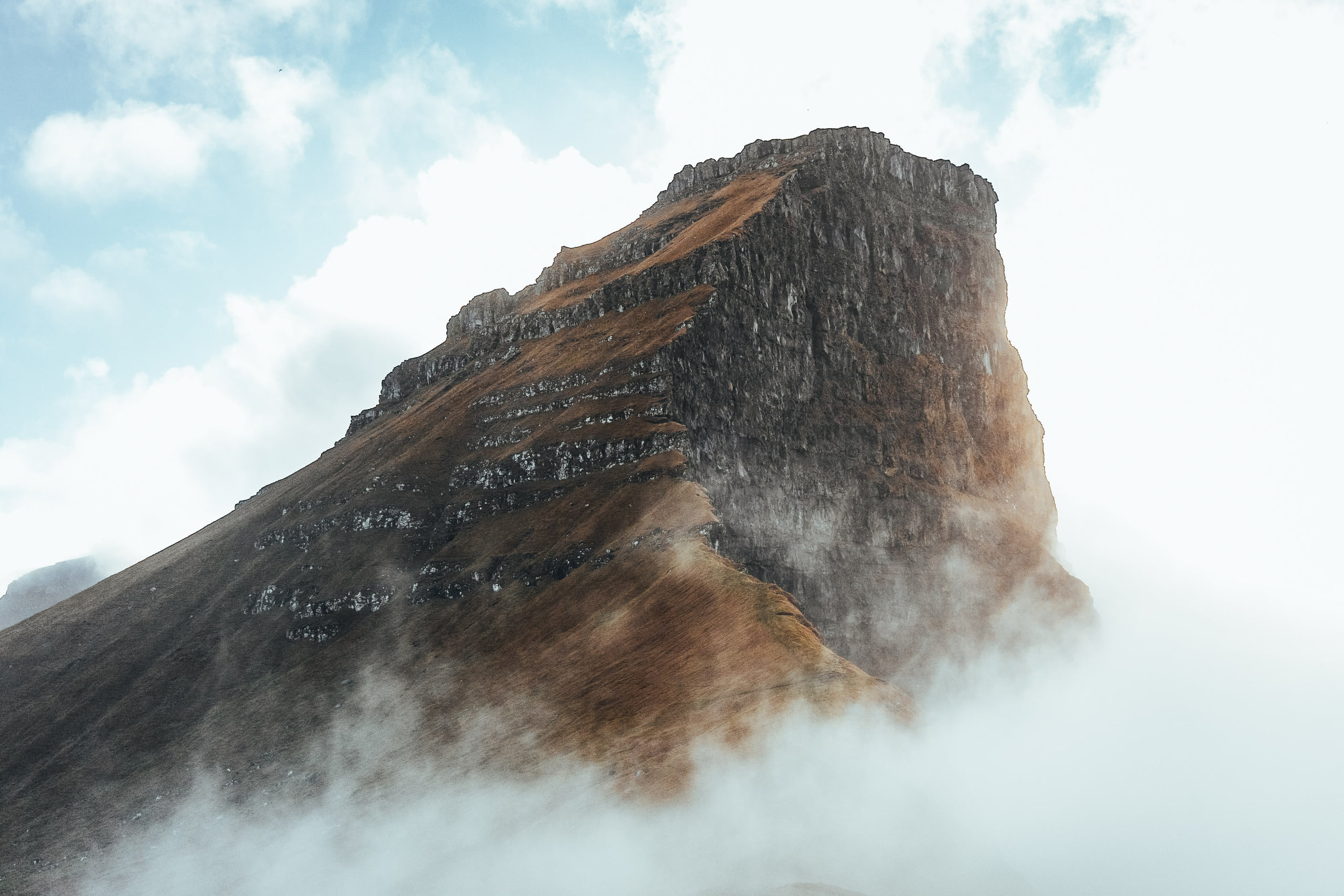
In the shadow of Borgarin is a lighthouse called Kallur. I ran into a couple of other tourists here; we didn't need to speak the same language, as our gobsmacked expressions told exactly how we felt in that moment.
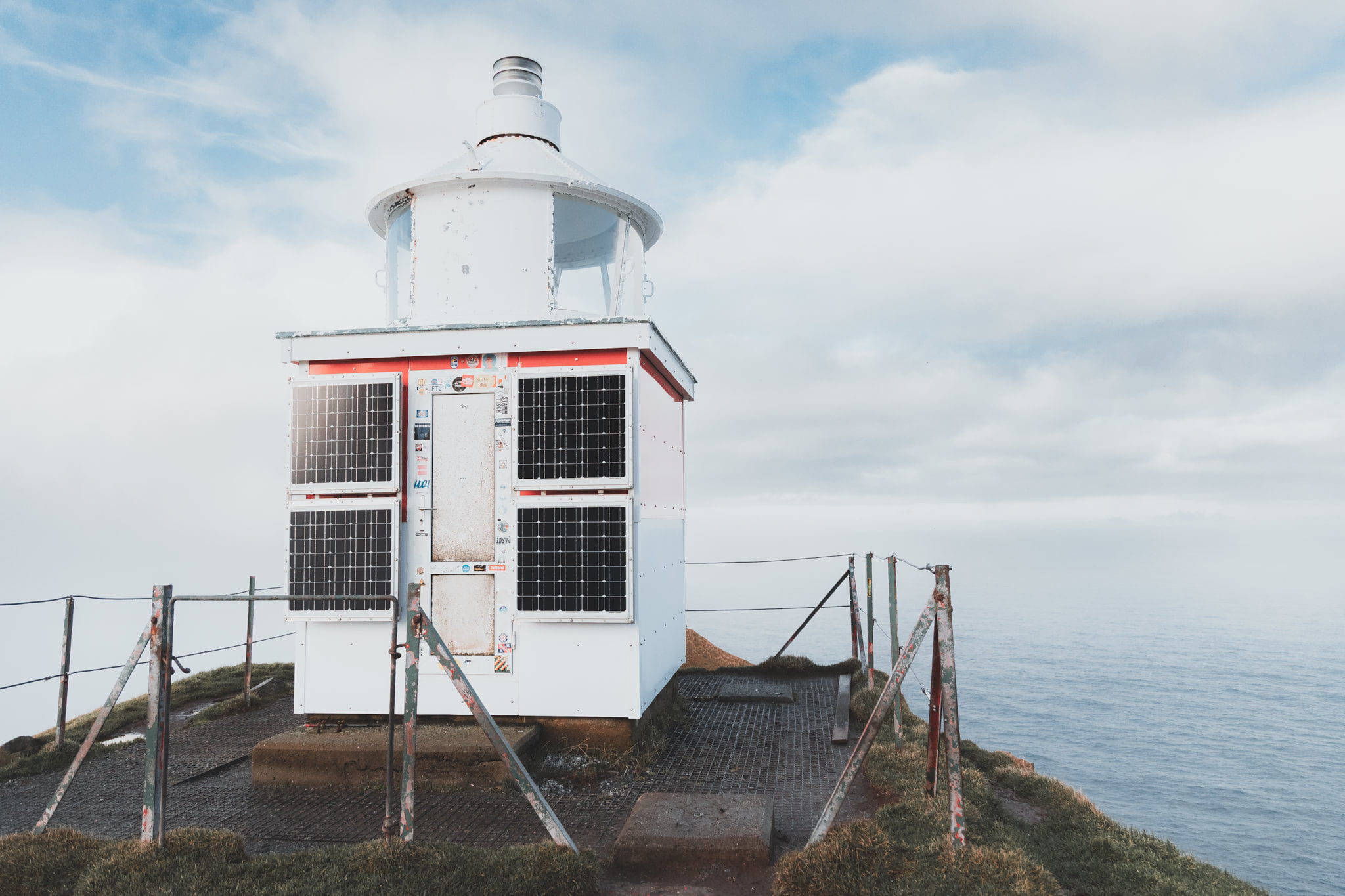
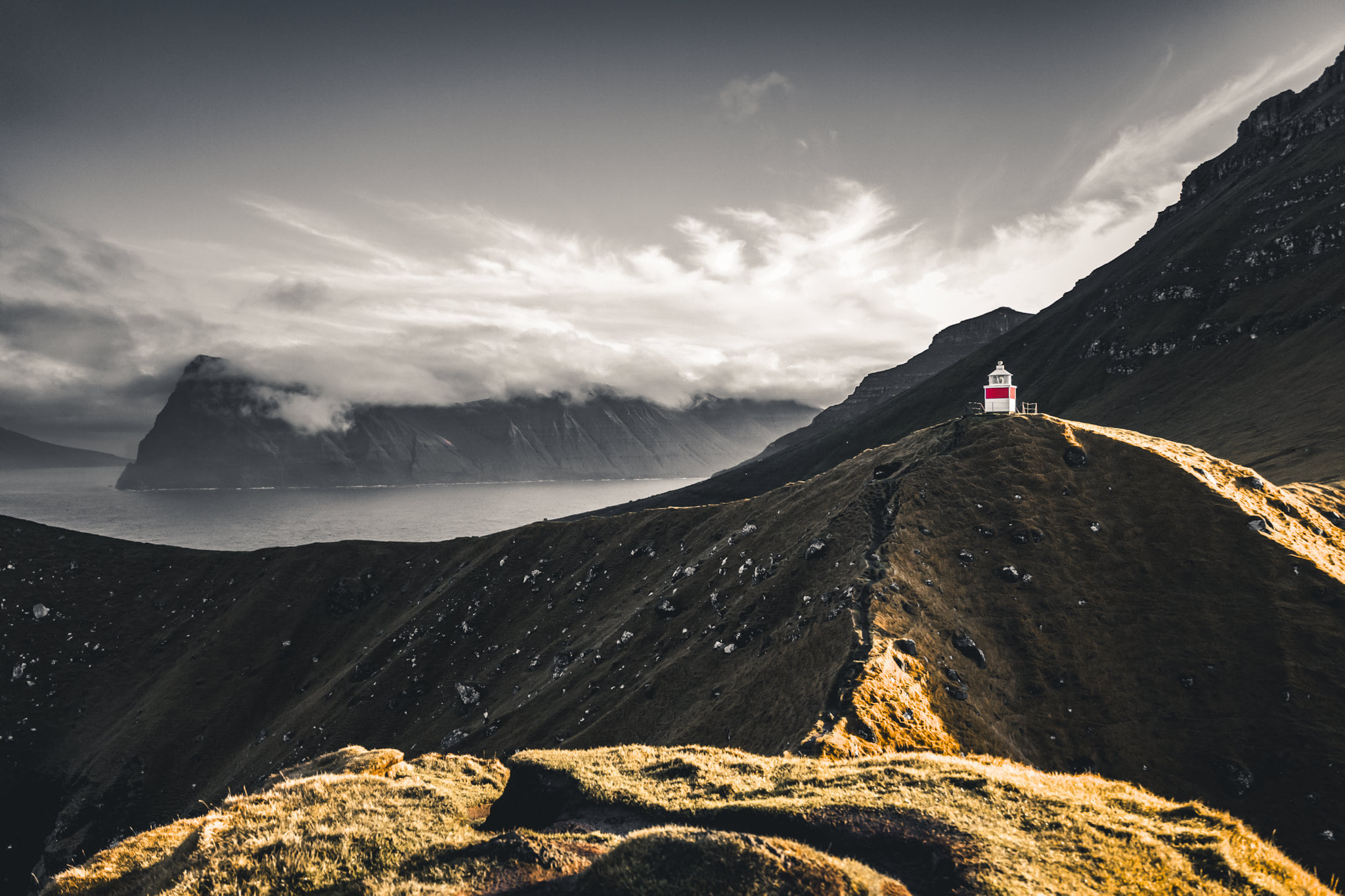
The other tourists left after I helped them take some photos. I'd run into them again on the return ferry, but for now I was completely alone. I continued to shoot Borgarin and the lighthouse as fog drifted amongst them, to create even more interesting angles of light and obscurity, then proceeded to roam the site and take another couple hundred photos. I will likely be posting different angles and takes of this spot for years to come.
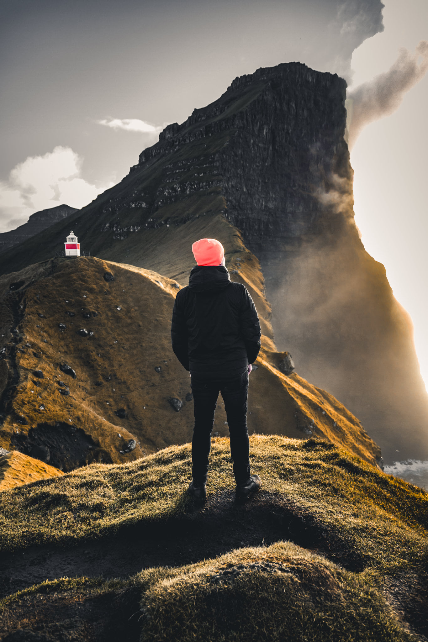
I found a dry spot to sit and ponder life for a while, and have a quick bite to eat. Seagulls and all manner of seabirds were swirling around the cliffs below as the waves thundered against the rocks. The temptation was strong to find an excuse to try and stay here forever. But I decided to practice gratitude in the moment, happy to just have been able to experience this once, and to commit it well to memory in case I'm never able to return.
Coming back down off the hike, I loaded myself and my gear into the car again and, careful to not get mud everywhere (impossible task), drove back halfway down the island to its largest settlement, Mikladalur.
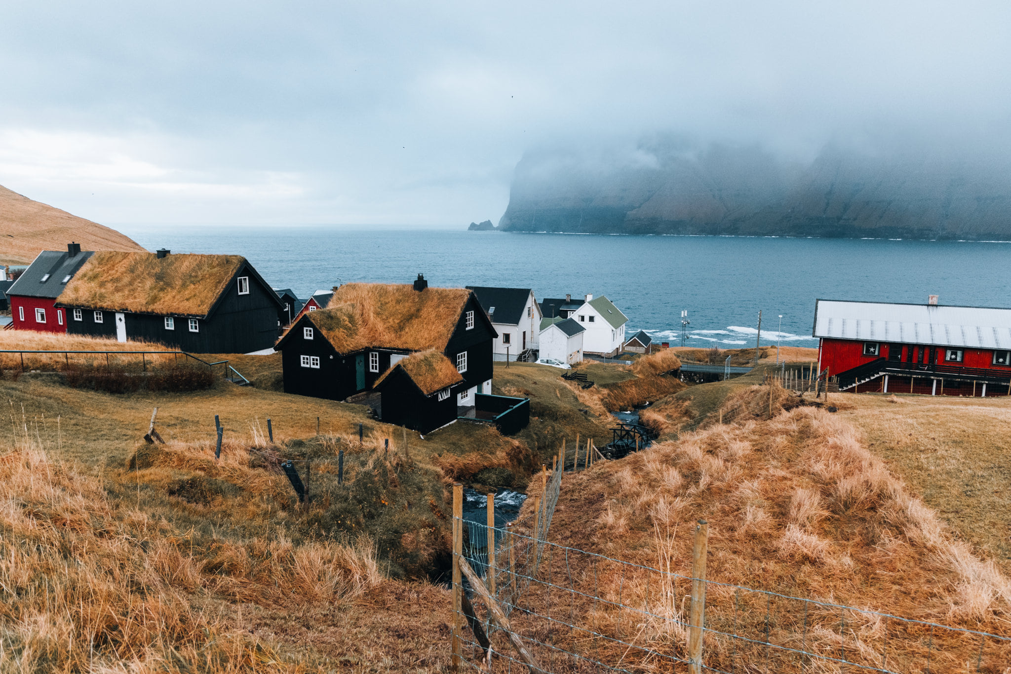
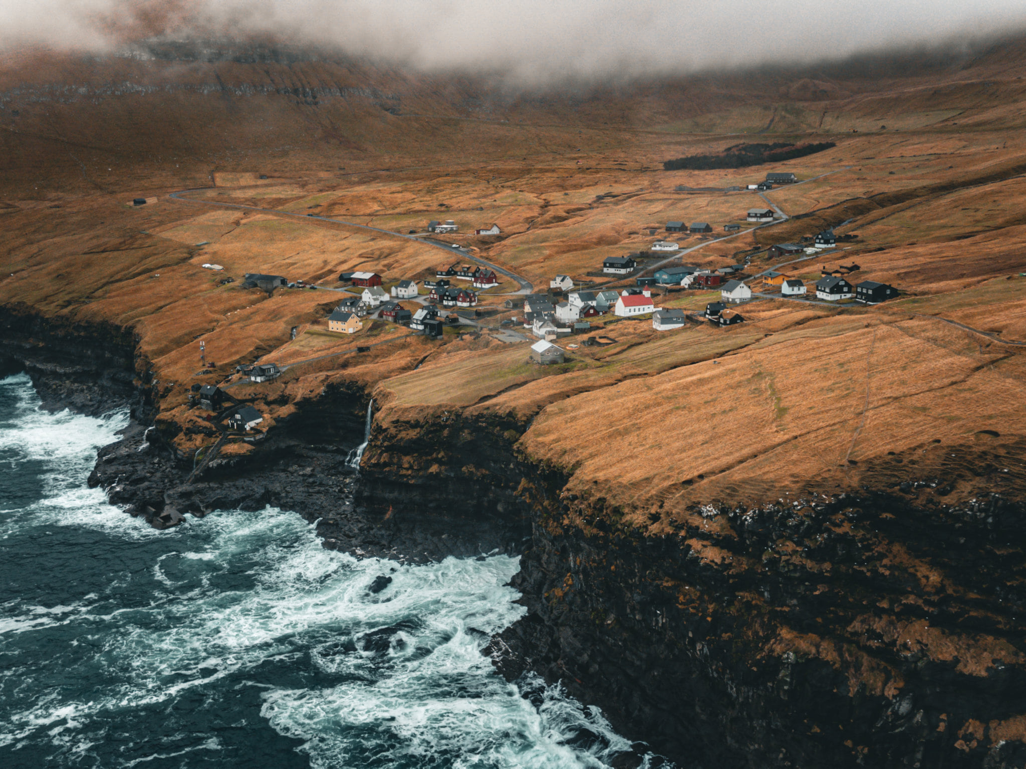
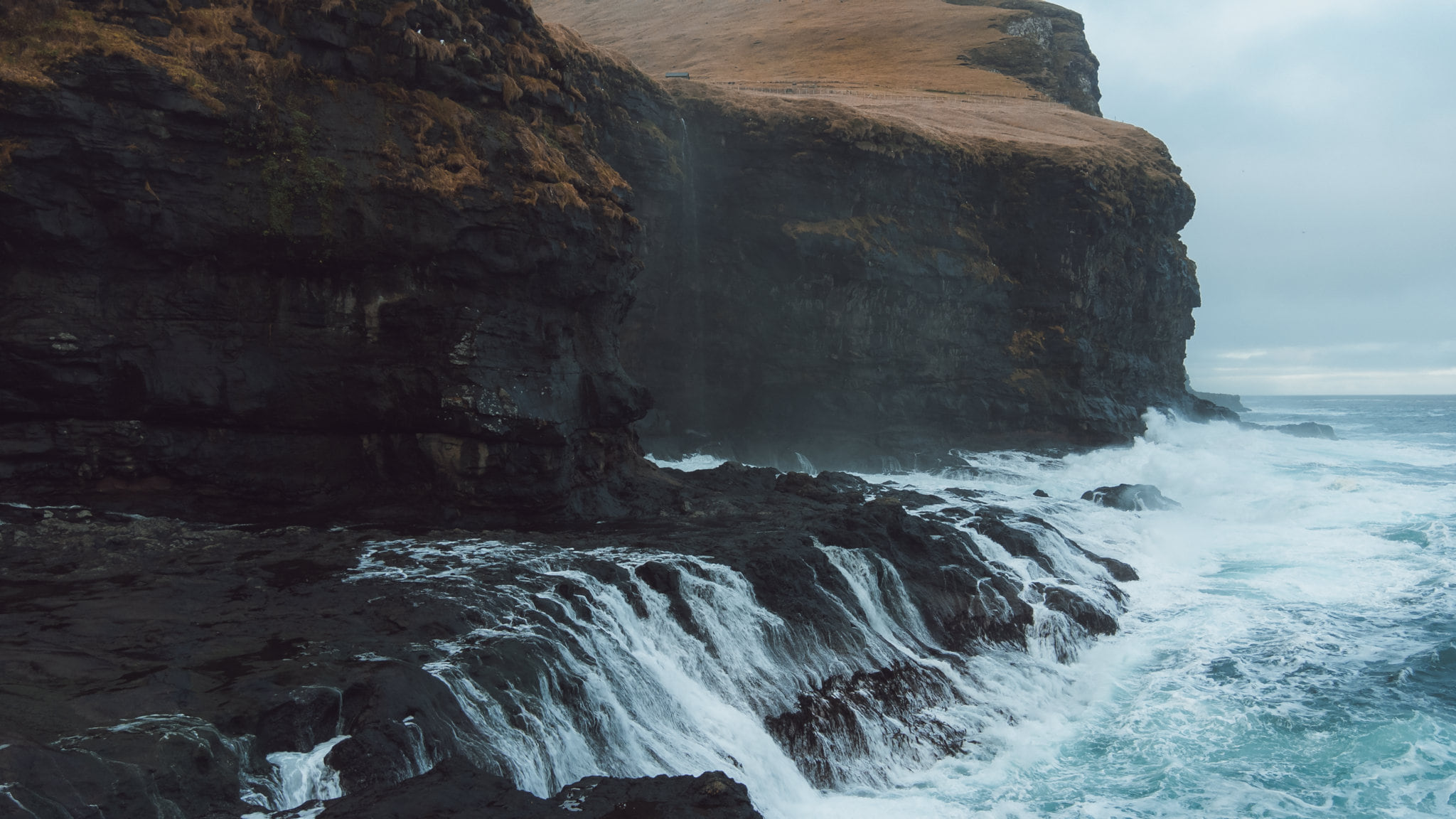
The breaks in the clouds that blessed me at Kallur were a distant memory now, the weather being completely different on this side of the Djúpidalur ridge. I made my way down some exceedingly slippery steps, dropping down the side of the cliffs below town, on my way to meet a local legend.
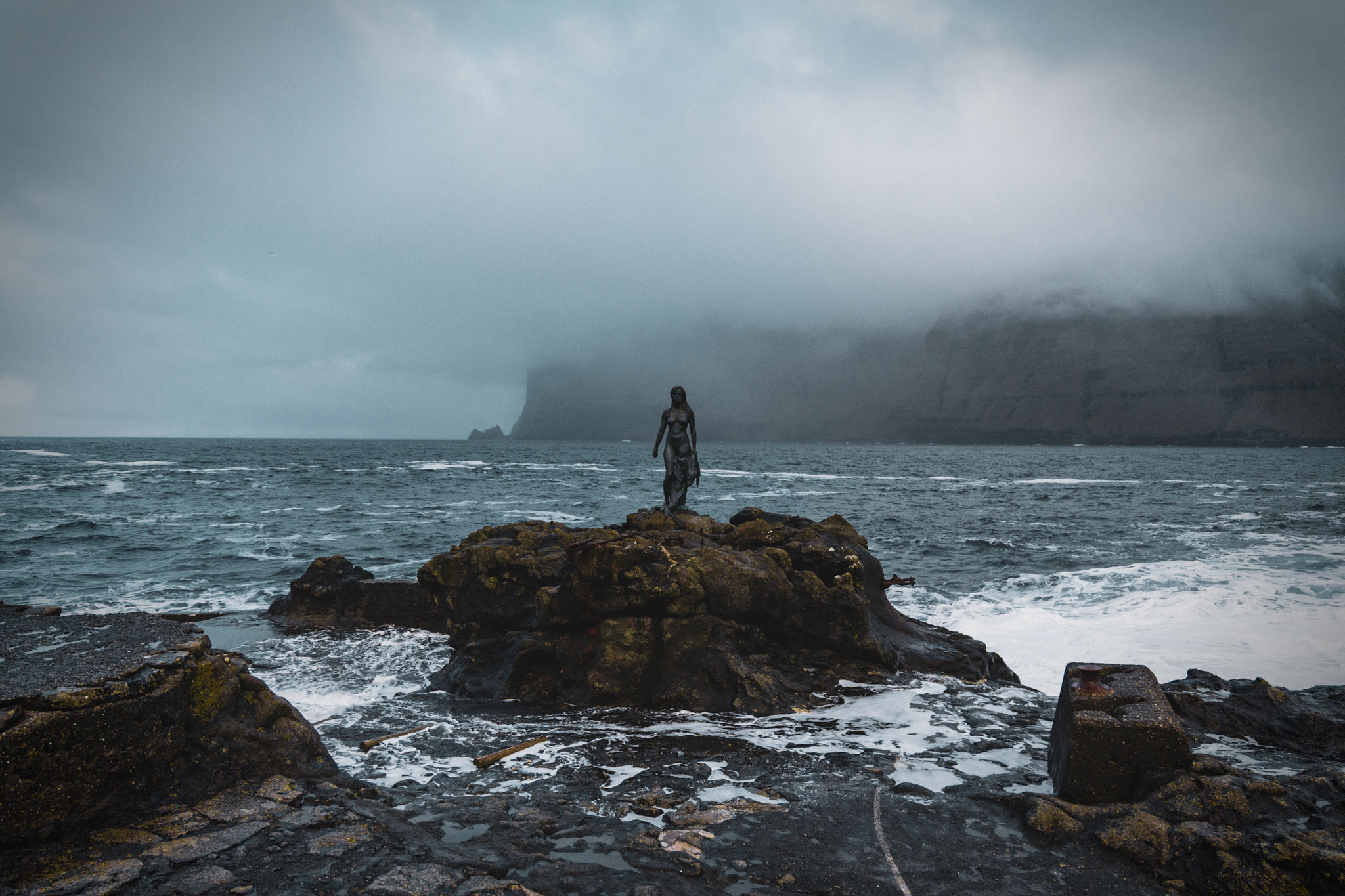
The Seal Woman continues to stand guard along the coast, enforcing a tragic and complex curse on the residents of Mikladalur. Perhaps it was no coincidence that I saw not a single person in town that day?
I flew my drone around for a bit and enjoyed the last half of my lunch before it was nearly time for me to catch my return ferry to Klaksvík.
The little ferry ride is only about 20 minutes from Kalsoy back to Klaksvík, but it was enough time to kill most of the already sparse light that remained. I sped off the ferry dock to scale a hill outside of town, as I wanted to get just one more drone flight in and capture an incredible view of Klaksvík harbour as it said goodbye to the day.
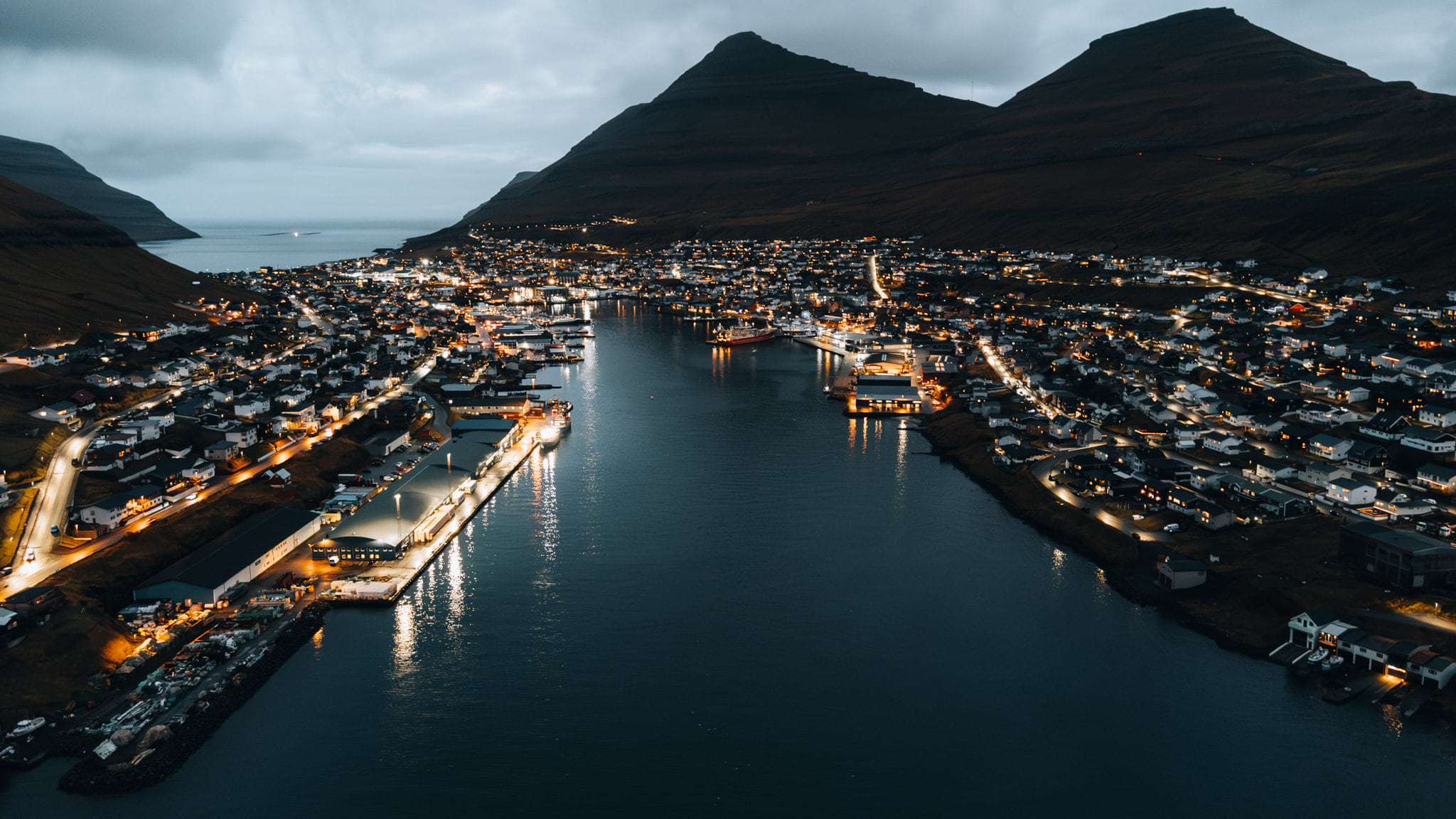
Feeling like I'd just finished a grand adventure, I peeled off my wet hiking gear and enjoyed a nice steak dinner in Klaksvík before taking the (long) drive back to Tórshavn. While this may have been the most striking and atmospheric day of the trip, the Faroes weren't yet finished with challenging me for amazing photos.

